Monday, May 30, 2016

Just another mountain Monday

Today I gave the Bolder Boulder and its 50,000 sweaty runners a wide berth and headed to the S. Mesa trail head near Eldorado Springs. From there I took the Mesa and Towhee trails to Shadow canyon, then up that steep climb to the top of S. Boulder peak. Then I dropped down to the saddle and ascended Bear peak, then down west Bear ridge and Bear canyon to the Mesa trail. Finally a leisurely, downhill hike back to my car.

This was my first two-peak hike of 2016. Last year I didn't tackle challenging trails like this until August. Call it 11 miles and 3500 elevation gain.

Sunday, May 29, 2016

Good day to be a bee

What a day in Boulder's foothills. Warm, dappled sunshine, gentle breeze, dramatic clouds, energetic blue jays and yellow warblers, swaying Ponderosa pines, showy wildflowers, trickling streams, muddy, tail-wagging dogs, smiling hikers and of course the occasional pack of trail running grannies. Just paradise. It's almost as if Trump didn't exist.

This time I did take my camera, so I'll get out of the way and let the photos show a late spring morning on the Mesa trail.


Saturday, May 28, 2016

Be prepared

Great hike today despite my leaving various things at home. I forgot to bring hiking socks, short sleeve shirt and camera. Really nothing major since running socks work fine for hiking, and when it warmed up  I just rolled up my long sleeve shirt. The camera would have been nice as I saw a ton of wildflowers including purple and white irises. So much for being prepared.

I had been planning a short hike since rain was forecast for late morning, but the skies stayed mostly clear. So from Chautauqua park I hiked the length of the Mesa trail, about 6.5 miles. Then on the return trip I headed up Shadow canyon to the saddle between S. Boulder Peak and Bear Peak. From there I hiked up Bear Peak, then down Bear canyon to Mesa. Epic hike. Weather was great, foothills were amazingly green, song birds were out and Ponderosa pines were giving off that wonderful vanilla scent. I'm claiming 15 miles and 4000' elevation gain.

Sunday, May 22, 2016

Green Mountain scenic route

The thing about hiking in your backyard is that you can improvise. Instead of taking the direct Gregory canyon route up Green Mountain I circled around. From Chautauqua park I took the Mesa trail south past NCAR, then turned west on the Bear canyon trail, and finally headed back north toward Green Mountain on the Green-Bear trail. This was my first time on GB, which I can now say is one of the nicer trails in the Boulder mountain parks. It's more secluded than the trails that directly connect to Mesa; it has lots of shade; and because it's above the steep canyons it doesn't show signs of flood damage. Along the trail the ground is covered with kinnikinnick.


Eventually the GB trail intersects Green Mountain west ridge, which continues to the summit. Lots of rock steps to reach the top, but the reward is a great view... and a cool breeze. To descend I took the Greenman trail (trail I came up a few weeks ago), then continued on the Saddle Rock trail. A short section of this trail was taken out by the floods, so a steel ladder was installed to climb out of the deep gully. The last part of my descent was on the Amphitheater trail, which leads to a popular rock climbing area. Then a short walk through Chautauqua to my car. In all 9.5 miles and 2700' elevation gain.

Saturday, May 21, 2016

Bear Peak

After several rainy weekends Boulder had sunshine today, so game on for hiking. There are multiple trails that head up Bear Peak, but probably the most popular starting place is the National Center for Atmospheric Research at the end of Table Mesa drive. Bear Peak is the pointy summit west of NCAR.


To reach Bear canyon you first walk a short distance on the Walter Orr "weather trail," a nature trail with signs explaining Boulder weather patterns such as Chinook winds. A connector trail leads to the Mesa trail, and Bear canyon is about a half mile south of the junction. Just below the turnoff for Bear Peak the Mesa trail still shows major damage from the 2013 floods, when in a single week an entire year's rainfall fell on the steep canyon walls.


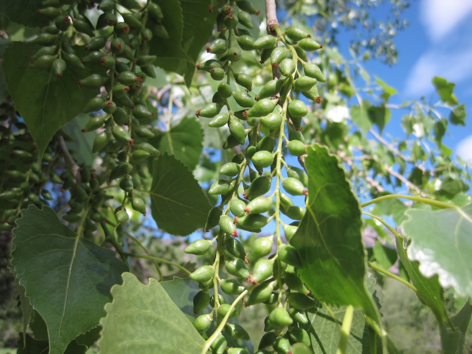
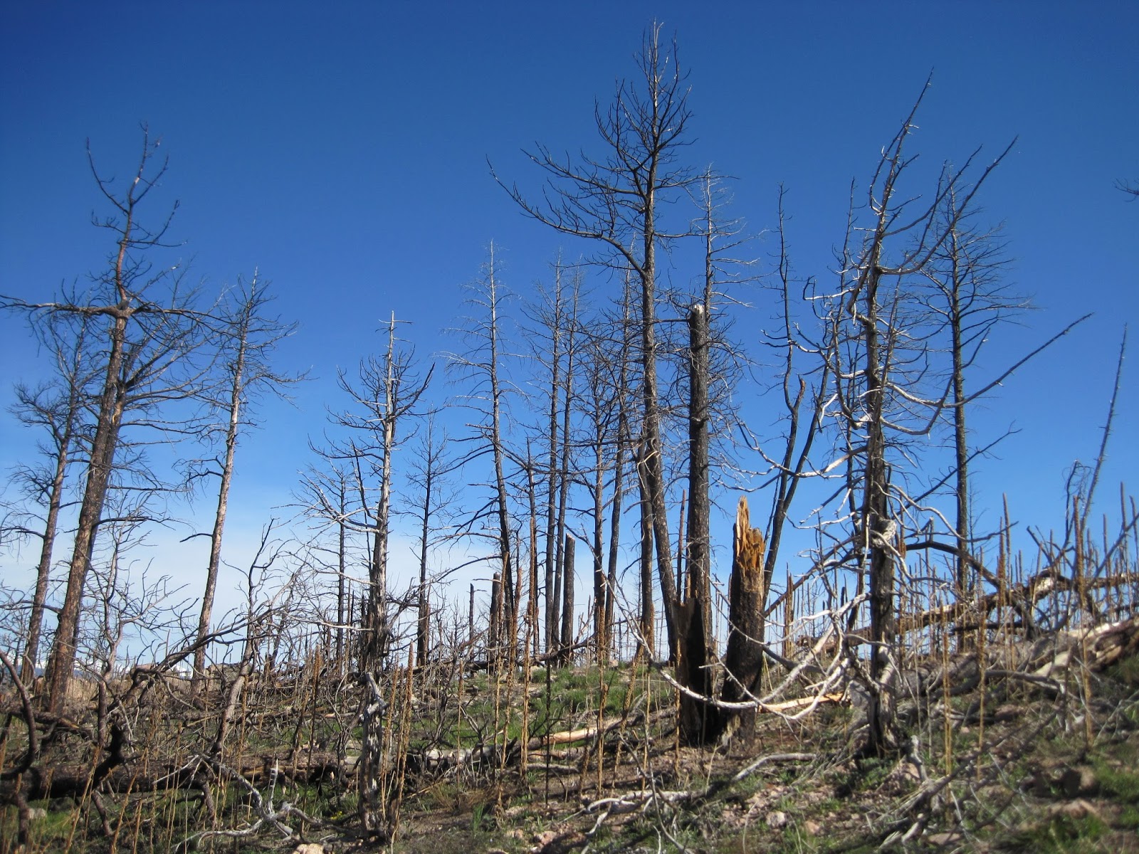
Bear canyon is quite scenic, with towering rock formations and a (normally) small stream. The grade is moderate so it's very popular with trail runners -- about two dozen passed me on this stretch. After 1.7 miles the trail turns east, following Bear Peak's west ridge another 1.6 miles to the summit. As the trail approaches the saddle between Bear Peak and S. Boulder Peak it enters a large burn area.


The summit of Bear Peak is a jagged pile of rocks, which are fun to climb. I intended to hang out and enjoy the view, but as soon as I stopped moving dozens of gnats landed on me. So I only stayed long enough to take photos of the summit, S Boulder Peak, Green mountain and (magnified) the snow covered Divide.


For the return trip I took the short but steep Fern canyon trail. I didn't see any ferns but I did hear many hikers huffing and puffing on their way up. There were also a few trail runners leaping from rock to rock, but I took my time to avoid tripping on a rock (as one of the trail runners did). By the time I got back to the car it was quite warm, a bit hazy and humid. I forgot to mention that today was my first "shorts" day of 2016, so I got to show off the palest legs in Boulder County. Fortunately everyone was wearing sunglasses. Stats: 7.5 miles, 2500' elevation gain.